Bellbird and Bellbird Heights
Location and boundaries Bellbird and Bellbird Heights is bounded by the locality of Mount View in the north and west, the locality of Cessnock in the east, and the Aberdare State Forest, the locality of Pelton and Bimbadeen Road in the south.
Name origin
Bellbird and Bellbird Heights are thought to be named after a colony of bellbirds which produced so great a volume of sound that bullockies could not hear their bullock bells.
Settlement history
Settlement of the area dates from the late 1800s, although significant development did not occur until the early 1900s when two collieries were established. Most growth occurred in the first half of the 1900s. The population has increased slightly since the early 1990s, a result of new dwellings being added to the area.
Land use
Bellbird and Bellbird Heights is a mainly residential area with some small lot rural within close proximity.
Major features
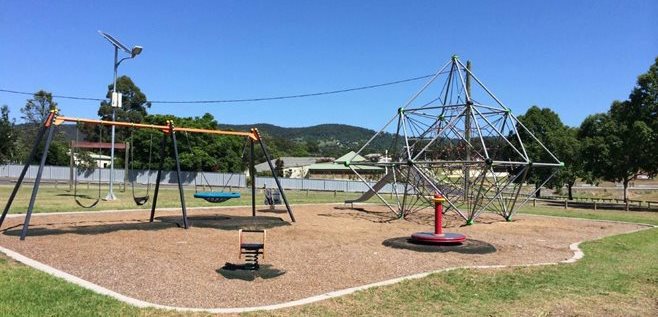
Major features of the area include Carmichael Park and Bellbird Primary school.
Included areas
This small area includes the locality of Bellbird Heights and most of the locality of Bellbird.